SWALLOWFIELD TO BLACKWATER
The Blackwater Valley Path runs from Swallowfield to Rowhill Copse at Heath End and the maps and details of the walk are at http://www.blackwater-valley.org.uk/valley_map.htmlJim and I undertook the first stage of this walk by going to Reading and getting the bus from Station Road Stop SC (just across from the Station) to Swallowfield and then getting the train back from Blackwater to Reading. Buses 72 and 82 go on the outward route.
Ask the bus driver to stop at the village hall because that is where the walk begins and this sign is located on a post next to the road. GR 4725 1650 - the Car Park marked on the OS sheets. The symbol is used on the waymarks.
The first section is along the road to Salter's Bridge where the River Broadwater is in two channels, this is the first, the second is Salter's Bridge. The Broadwater runs from the junction of the Whitewater and the Blackwater downstream to the River Loddon and we were walking upstream.
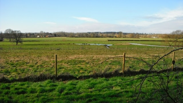
After Salter's Bridge there is more road walking and we stopped in a cemetery for a coffee break and this was the view from the back of the cemetery across the valley of the Broadwater.
A quarter of a mile later you leave the road to go down a path to the Broadwater.
This is the confluence of the Whitewater on the right and the Blackwater on the left.
At Jouldings Farm we encountered this muddy path on one of the sections where we were a little way away from the river bank.
This was the four foot deep ford at The New Mill near Lower Common. Fortunately there was a footbridge.
This is the Mill taken from the footbridge.
A section of the Blackwater just upstream from the Mill.
This is the Tally Ho at Eversley on the route and a place for a lunch stop http://www.homecountiespubs.co.uk/tallyho/
We were a little early and had a picnic on a log watching a kite in the pub garden.
Shortly after Fleethill Farm you encounter the first of many gravel extraction areas and the first ones are active as can be seen from the two excavators.
The gravel was moved some distance by these conveyor belts and the path crosses a bridge over one of them.
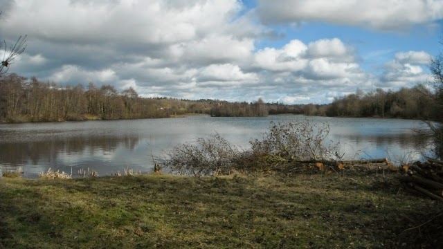
The older pits in the Moor Green Lakes Nature Reserve http://www.blackwater-valley.org.uk/moor_green_lakes_.html presented a prettier picture and we had another coffee break with this view.
The tower of St Michael and All Angels at Sandhurst, one that has its origins in the 13th century but was remodelled by the Victorians. The sandy coloured stone made a pleasing façade. http://www.stmichaels-sandhurst.org.uk/history.html
Not what you think - it is full of door and cabinet furniture http://www.knobshop.biz/5.html
After walking along roads through Sandhurst and following a path by the side of the railway near the station it is back to the winding river and a pleasant section.
This was an amazingly long footbridge over the river and the railway to Shepherd Meadows Nature Reserve
After crossing the river two more times we arrived at the A30 and the Blackwater Railway Station after 10.3 miles.


No comments:
Post a Comment